We are pleased to have been awarded a contract from the National Centre for Earth Observation to develop category-based geospatial data files for the UK to enable the effective translation of climate data into new forms of actionable information.
This activity is part of the UK Earth Observation Climate Information Service (EOCIS) programme which provides contextual data to support climate analysis.
The datasets will provide underpinning spatial and land classification information such as the NHS and Fire service administration boundaries, postcode sectors, parish, community, roads, railways, transmission lines, etc. These datasets will support the creation of climate information at high resolution and will provide underpinning data in support of national policy actions on climate change.
Tell us about your data challenge

Providing meteorological data for novel wind turbine analysis
Working with clean tech start-up Ilosta to provide bespoke meteorological data and weather consultancy in support of the testing of their new wind turbine blade analysis software, ‘Crack Map’.
Read more…
Developing an IaC solution for new remote monitoring platform
Software engineers at the IEA recently provided technical consultancy to UK-based Dyna-mo Instruments to develop an Infrastructure as Code (IaC) solution to deploy their new SaaS-based remote monitoring software into AWS.
Read more…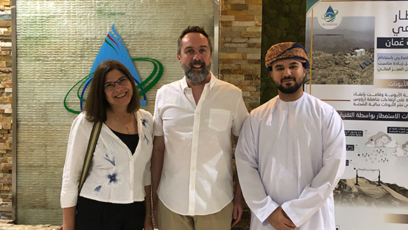
Oman workshop on results of rainfall modelling project
IEA weather and climate experts - Dr. Maria Noguer and Dr. Ben Lloyd-Hughes - were recently in Muscat, Oman to present the results of a statistical analysis project examining the outcome of Oman’s national rainfall enhancement programme between 2019-2022 at a workshop organised…
Read more…
Partnering with UK Power Networks on new Ofgem-SIF Innovation Project
The Institute for Environmental Analytics has been awarded an initial 2-month Discovery Phase project to investigate the potential for developing a weather and climate monitoring platform for UK Power Networks, one of the UK’s leading DNOs (Distribution Network Operators).
Read more…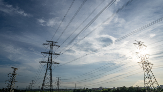
IEA secures UKRI Round 2 funding for novel energy market modelling initiative
After a successful 3-month discovery activity, we are pleased to announce that we have been awarded a 12-month follow-on project from UKRI (UK Research & Innovation) to further develop our innovative economic dispatch modeling technology.
Read more…The IEA publish white paper exploring the role of weather data in Africa's energy transition
The Institute for Environmental Analytics is pleased to announce the release of our white paper which looks at how weather variability can affect solar and wind production.
Read more…Providing software engineering support for new Sustainability platform
Supporting UK-based start-up InForecast Limited.
Read more…
Analysing cloud seeding programme in Oman
We are pleased to have been awarded a contract from the Ministry of Agriculture, Fisheries Wealth and Water Resources, Sultanate of Oman to undertake a statistical analysis of the results of the rainfall enhancement programme between 2019-2022. This innovative national initiative…
Read more…
Assessing climate impacts on horticulture
Modelling the impact of climate change on crops
Read more…
Innovate UK bid win for energy market modelling
Modelling the impact of weather and climate change in future energy markets.
Read more…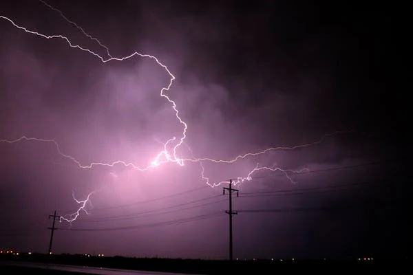
Assessing weather impacts on electricity networks
The IEA team has recently completed Phase 1 of a project to assess the impact of weather and climate on electricity networks.
Read more…
Suriname pilots EnergyMetric to further energy transition
The IEA is delighted to have signed an MOU with the Suriname Energy Chamber for a pilot initiative to demonstrate the potential for EnergyMetric to inform renewable energy transition options in the country.
Read more…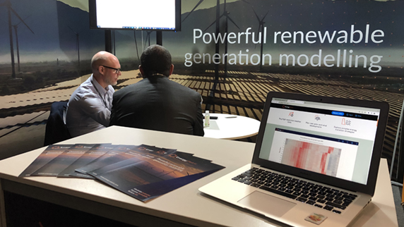
EnergyMetric launches in Africa
The IEA was in Cape Town from 7-9 June to launch EnergyMetric at Enlit Africa.
Read more…
New funding announced at CREF 2022
We’re proud to announce the roll out of EnergyMetric across six small island states, thanks to further funding from the UK Space Agency.
Read more…
Energy workshop for Birkbeck students
During March, the IEA will be delivering a special workshop on energy modelling to students on the Energy and Climate Change course at Birkbeck College, London.
Read more…
WeatherAsset exhibiting at Fruit Logistica
We will be showcasing our suite of weather modelling software, data and consultancy services at Fruit Logistica 2022 in Berlin between 5th-7th April.
Read more…
EnergyMetric at Solar Finance and Investment Europe
Solar Media Events will host the 9th edition of Solar Finance and Investment Europe in London on 8-9 March 2022.
Read more…
Launch of EnergyMetric
After 5 years of R&D effort funded by the UK Space Agency’s International Partnership Programme (IPP), we are pleased to announce the commercial launch of EnergyMetric.
Read more…